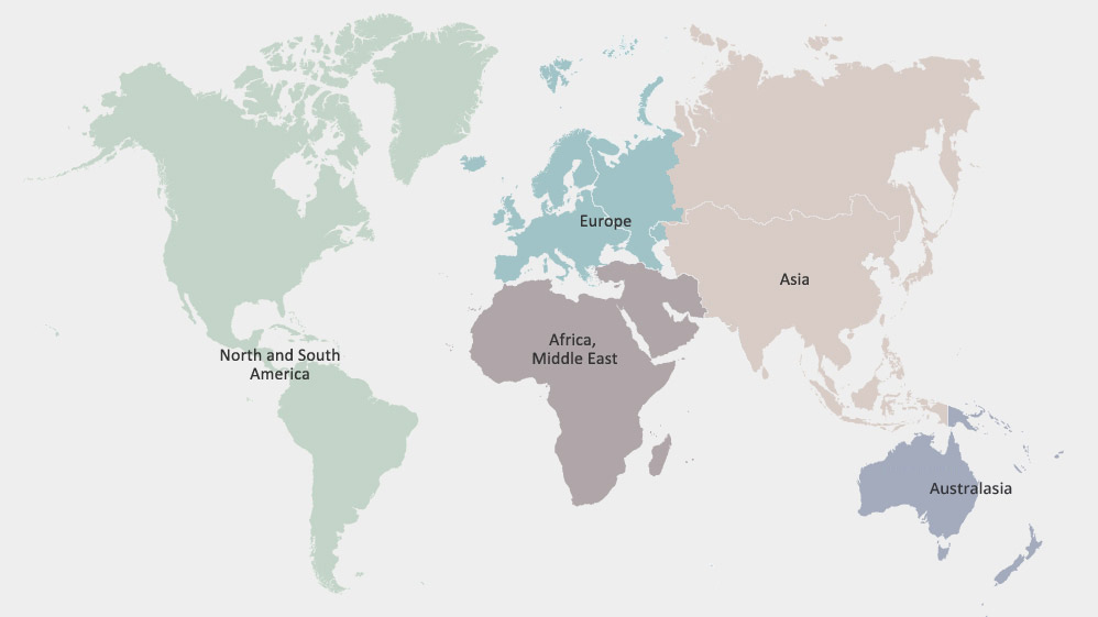
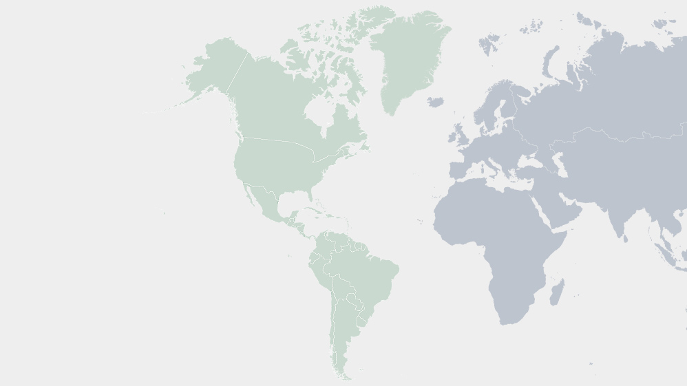
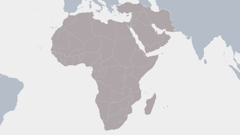
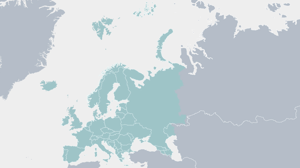
World Climate Statistics
![world-map](https://www.weather.gov.sg/wp-content/themes/wiptheme/assets/img/world-map.jpg)
![north_south_america_map](https://www.weather.gov.sg/wp-content/themes/wiptheme/assets/img/north_south_america_map.jpg)
![africa_map](https://www.weather.gov.sg/wp-content/themes/wiptheme/assets/img/africa_map.jpg)
![europe_map](https://www.weather.gov.sg/wp-content/themes/wiptheme/assets/img/europe_map.jpg)
![Regional map](https://www.weather.gov.sg/wp-content/themes/wiptheme/assets/img/asian_map.jpg)
![australasia_map](https://www.weather.gov.sg/wp-content/themes/wiptheme/assets/img/australasia_map.jpg)
The climate data are provided by the respective National Hydrology and Meteorological Service (NHMS).
A rain day is defined as the day when precipitation exceeds a certain minimum threshold. This threshold is different from country to country and is usually between 0.2mm to 1.0mm.