Southeast Asia Regional Centre
WMO Vegetation Fire and Smoke Pollution
Warning and Advisory System (VFSP-WAS)
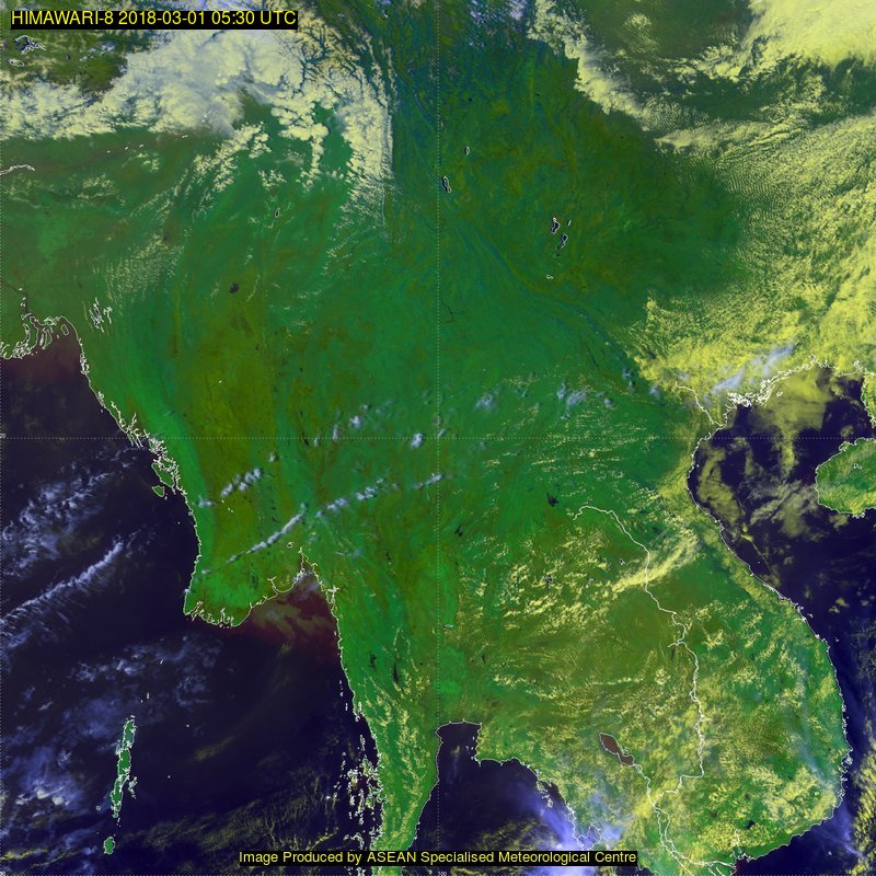
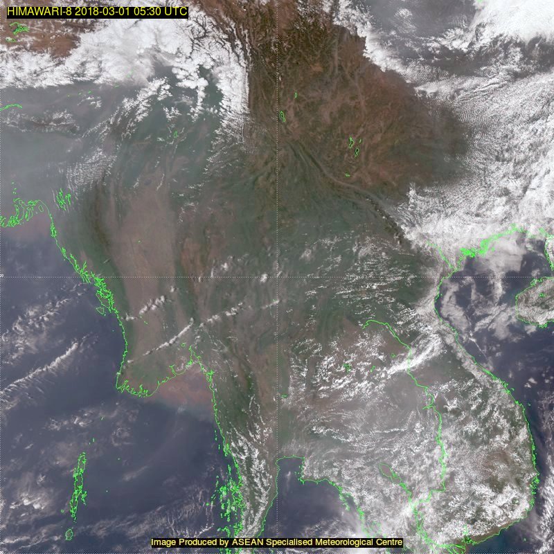
- Northern SE Asia
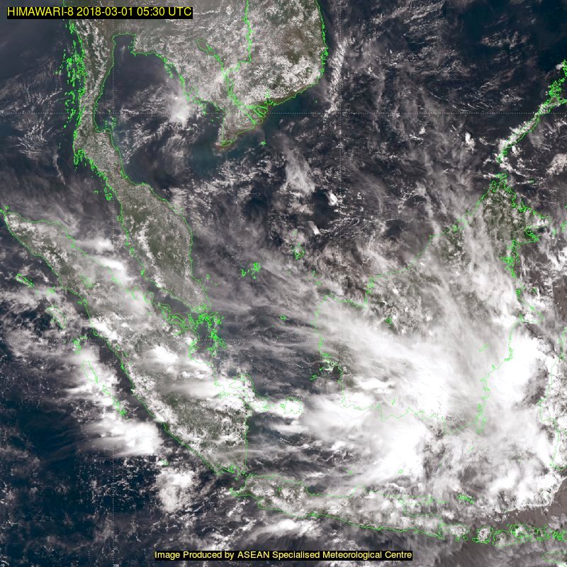
- Southern SE Asia
False Colour Image
True Colour Image
False Colour Image

True Colour Image
Southeast Asia Regional Centre
WMO Vegetation Fire and Smoke Pollution
Warning and Advisory System (VFSP-WAS)